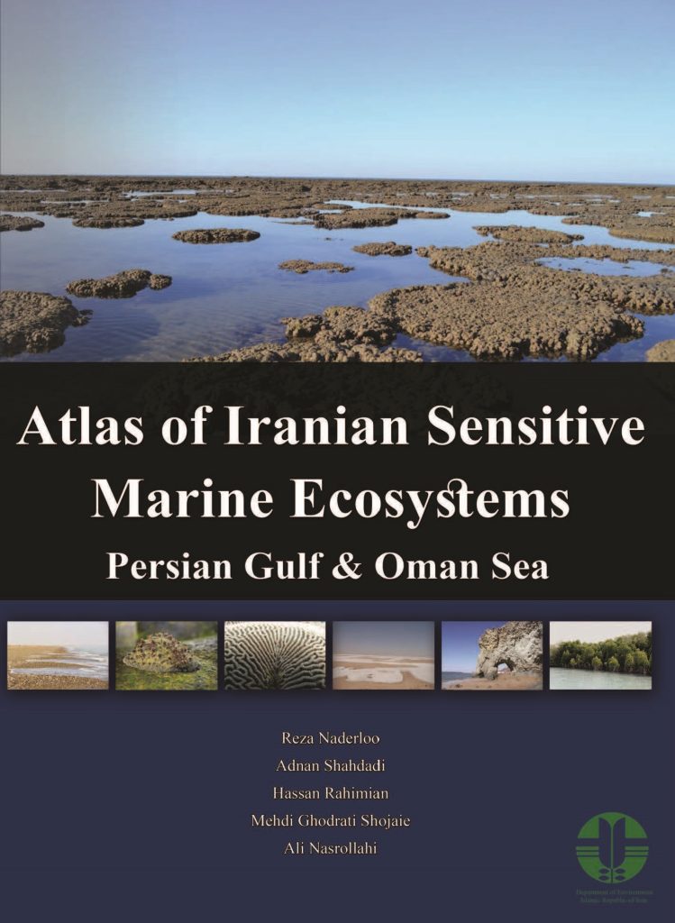
The aim of this atlas is to present the distribution map of sensitive marine ecosystems of the Persian Gulf and Gulf of Oman, along with images as well as information on species diversities supported by those ecosystems. Initially, we reviewed all the major marine ecosystems of the Persian Gulf and Gulf of Oman based on selected literatures (e.g., Sheppard 1992, Sheppard et al. 2010, Nederloo and Türkay 2012, Nederloo et al. 2013). There are seven main ecosystems in the region, including: wetlands (i.e. swamps, creeks, estuaries, and coastal marshes), muddy-sandy flats, mangroves, seagrasses, exposed sandy beaches, rocky-cobble shores, and coral reef ecosystems. Each of these ecosystems, depending on their structure and geographical location, has its own unique set of countless microhabitats, which have led to the zonation of the living organisms within and along these ecosystems. In this atlas, all those micro-habitats have been examined in detail in relevant ecosystems. One of the exceptional habitats for some marine organisms, e.g. barnacles, bryozoans, bivalves, algae, ascidians, etc., are manmade structures such as quays and abandoned floating objects (e.g. abandoned fishing gears and marine litters), and large living organisms (sea turtles, whales, etc.). These habitats have received little scientific attention, while they are extremely important in providing habitats for some species, particularly for alien species, thus help their distribution. The “biofouling communities” are discussed in subchapter of rocky-cobble ecosystems.

The information provided in this atlas were compiled partly by comprehensive reviews of existing literatures and further through field studies conducted over along the coasts of the Persian Gulf and Gulf of Oman. Coastal Zonation together with information on structures and coastal habitats are mainly based on data compiled by marine biologists of the University of Tehran, during the past 15 years, and by using GIS software and remote sensing techniques. Additional supplementary information, on distribution and composition of different habitats, were collected during several field trips covering entire coastlines. Additional field studies were also conducted in Qeshm, Hormoz, Lark, Hengam, Farur, Bani Farur and Siri islands during the preparation of this atlas to cover any possible gaps in the available data. Necessary biological data from other islands including Abu-Musa, Greater Tonb, Lesser Tonb, Kish, Larvan and Hindurabi, have been collected by the same research team during various research projects carried out during the past 15 years and were added to the available data. Habitats distribution maps were carefully prepared in as detailed as possible. Data and maps of the Marine Protected Areas (MPA) in the Persian Gulf and Gulf of Oman were obtained from various sources including project reports that had been conducted by Iranian Department of Environment. Next, zonation and habitat structure maps of different mangrove habitats along the Persian Gulf and Gulf of Oman coasts, including Nayband mangroves in Bushehr Province, Qeshm mangroves, Tiab and Kolahi Khors, Ghazali Khor (Sirik port) and Jask mangroves all in Hormozgan Province, and Gwatr mangrove of Sistan-Baluchistan Province, were prepared.
The next crucial step was to gather all the biodiversity data for each habitat from different sources including published papers and particularly unpublished materials such as MSc and PhD theses, research project reports, governmental agencies reports and etc., supplemented by additional samplings from less studied areas.
Three important taxa with highest biological diversities in marine habitats include crustaceans, mollusks, and polychaete worms. Because of those higher diversities they have historically received relatively more attention in comparison to other taxa, and inevitably are relatively better-known. Consequently, a complete species lists for these three taxa are provided, for each ecosystem. Due to the dearth of studies and lack of published credible sources, it was somewhat more difficult to compile a relatively complete list of species for other taxa; nevertheless, utmost attempts were made to close the gaps in our knowledge by carrying out new samplings to up-to-date information.
Another important part of determining zonation of living organisms in each ecosystem were based on field studies on the presence and distribution of index and dominant species in different ecosystems. Data were then integrated to the previous data and used to make illustrations used in this atlas.
Further to presenting species lists from different ecosystems, in vivo photos from of the index and dominant species from different habitats which had been taken by professional natural and underwater photographers were obtained and are presented in relevant chapters.
